Drone/UAS Services
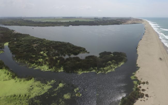
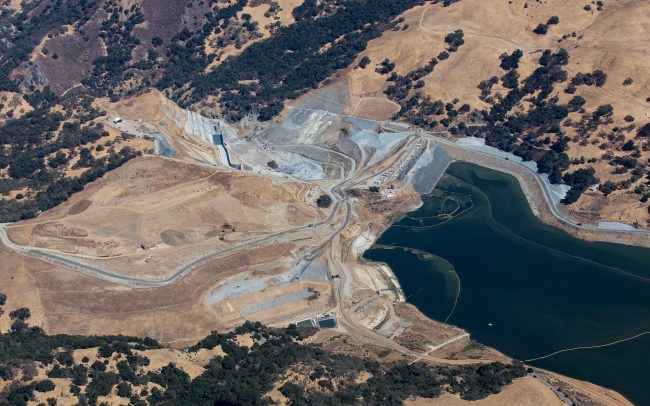
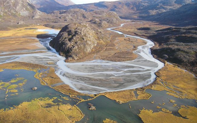
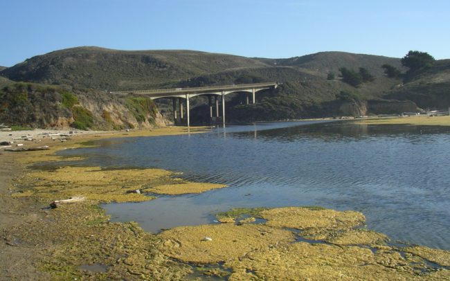
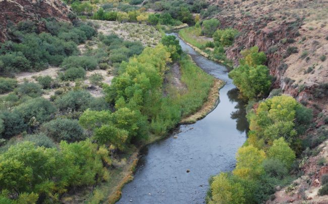
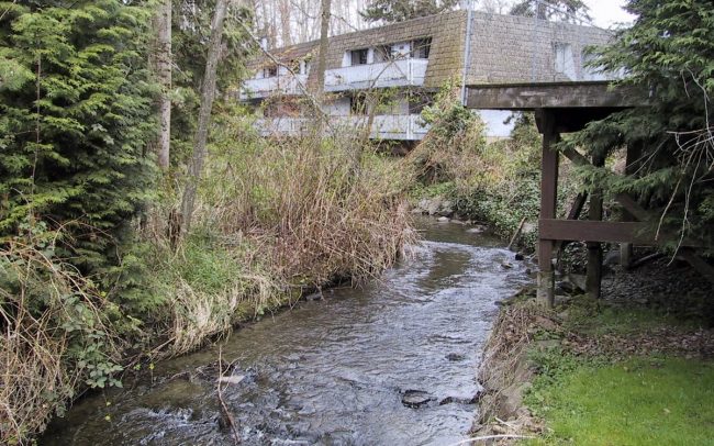
Low elevation aerial photography is a cost-effective technique for obtaining high resolution, digital and georeferenced aerial photographs using unmanned aircraft systems (UAS) and other compact airborne devices ideal for repeat mapping of physical and biological features in small reaches.
How does it work?
Georeferenced photographs are systematically taken with a remote-controlled unmanned aircraft system (UAS; or “drone”) or manually controlled balloon device at an altitude less than 150 m. All field operations are under the direct supervision of one of our FAA-certified pilots. Images are then digitally corrected in a photogrammetric software package (e.g., Pix4D Mapper or Agisoft PhotoScan) using surveyed ground control points. The corrected imagery is processed as an orthomosaic basemap and 3D topographic surface compatible in GIS and engineering-design workspaces. The entire workflow entails rapid field mobilization, automated flight paths, need for few ground control points, and streamlined data processing and quality control.
Applications
This tool is ideally suited for a wide range of applications where high-resolution, spatially accurate planform imagery and 3D surfaces are required for detailed field mapping, analysis of environmental conditions, and creation of a time series of imagery to evaluate trends. The methodology is repeatable and cost-effective, and is compatible with all spatial analysis and engineering design typically done in ArcGIS and AutoCAD.
RELATED SERVICES:
- Biological Monitoring
- Fish Passage
- Watershed Assessment