GIS and Spatial Analysis
GIS and geospatial analysis play an intrinsic role in our projects. For data collection efforts, our GIS team provides our scientists with all the necessary support to collect, document, and archive their data. We carefully integrate our GIS into survey protocols to ensure a seamless data transition from fieldwork to desktop, while ensuring data accuracy and quality. Using innovative spatial analysis techniques, we allow our scientists to explore the trends, patterns, and relationships of different ecosystems, management scenarios, and impacts of human activities on physical and biological systems. Our GIS analysts collaborate closely with the rest of our staff in the following areas
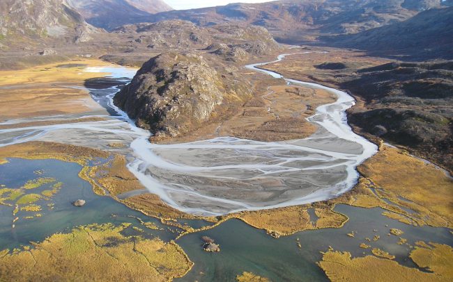
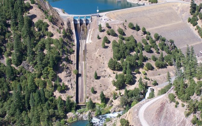
- Watershed modeling and characterization
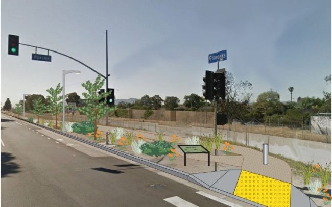
- Watershed planning: assessing land-use and climate change impacts
- Geomorphic processes and sediment modeling: landslides, production, delivery
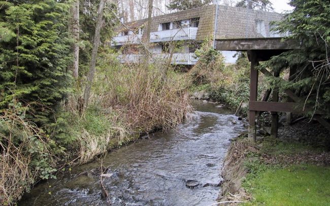
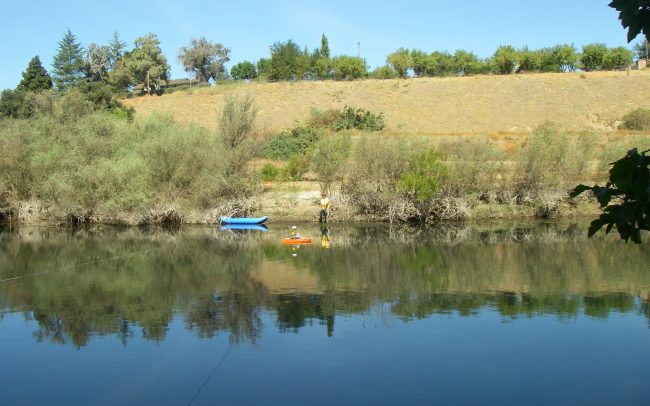
- Fish distribution and habitat assessment: Limiting factors analysis
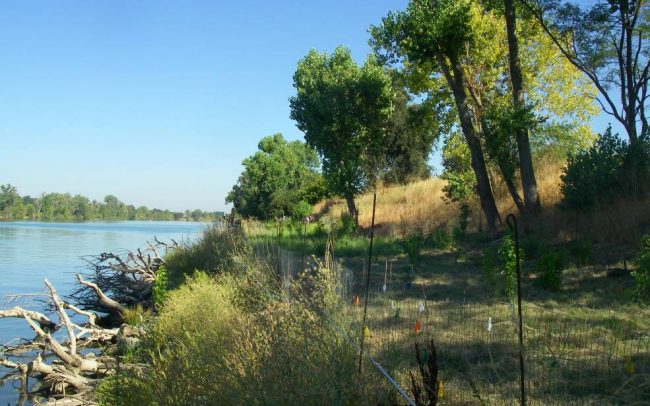
- Modeling and mapping of riparian vegetation dynamics
- Revegetation, restoration, and habitat planning
- Wetland mapping: delineation, mitigation design and monitoring
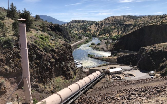
- Water temperature and water quality: modeling and assessment
- Special-status species: habitat distribution, and focal species analysis
- Species distribution: modeling under climate change scenarios (MAXENT)
Our GIS professionals provide countless “every day” GIS work products, from high-end cartography for reports, projects, and presentations, to data generation and geoprocessing. We work with both ESRI and open-source GIS products, in desktop and mobile platforms. Our GIS staff is highly experienced and creative, with strong backgrounds in:
- Computerized mapping, spatial analysis, and modeling
- River network morphology and characterization
- GIS programming and custom geoprocessing tool development (Python, VBA, Model Builder)
- Interactive cartography and geographic data visualization (API mashups, javascript, Adobe Flash)
- Surface modeling (LIDAR, DEM, DTM)