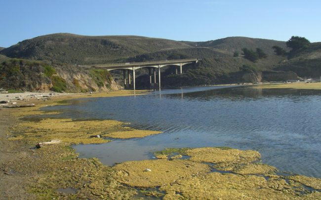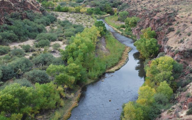
BasinTemp© – A process-based, watershed-scale stream temperature model
The BasinTemp© model predicts stream temperatures for entire watersheds while only requiring a minimum of input data. Developed to evaluate stream temperature controls on aquatic biological conditions at the scale of the entire basin, BasinTemp© employs an optimization scheme which uses a handful of well distributed, field-measured stream temperatures to improve temperature predictions.
How does it work?
BasinTemp© draws on existing empirical and theoretical research and couples a solar radiation model, with a simple energy balance and hydrologic model, to calculate (1) the mass transfer of heat between each reach and the environment, and (2) the downstream transport of heat. Temperature predictions are then displayed using GIS functionality.
Why use BasinTemp?
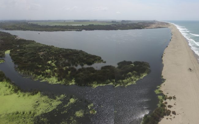
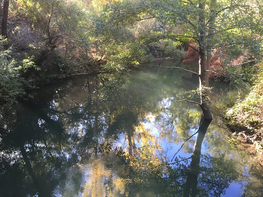
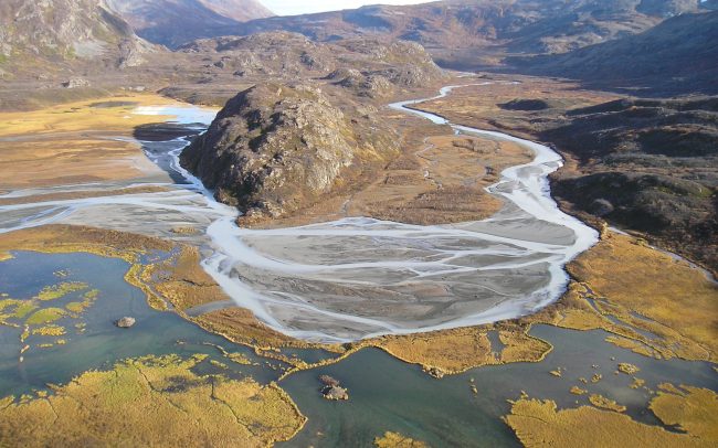
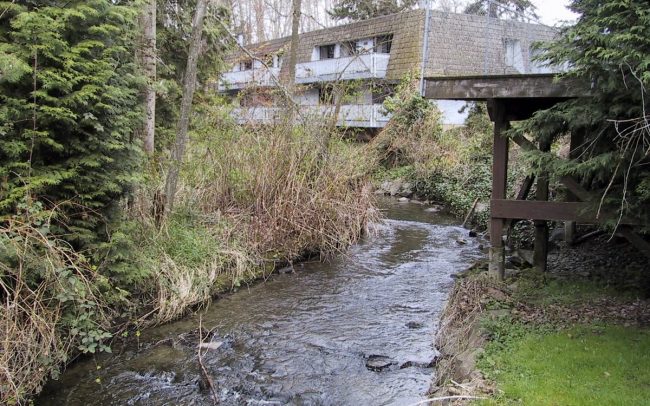
One of the primary functions of BasinTemp© is to allow resource and land managers to explore the relationship between vegetation and stream temperatures. The model can predict various water temperature metrics (including MWATs) at time steps from 1 day to 1 month, and provides a way to identify portions of the stream channel network where elevated temperatures may degrade salmonid habitat. The model can also be used to identify optimal and near-optimal salmonid habitat across the channel network, and to evaluate how riparian-zone vegetation management strategies are affecting stream temperature.
RELATED SERVICES:
- Biological Monitoring
- Fish Passage
- Watershed Assessment